


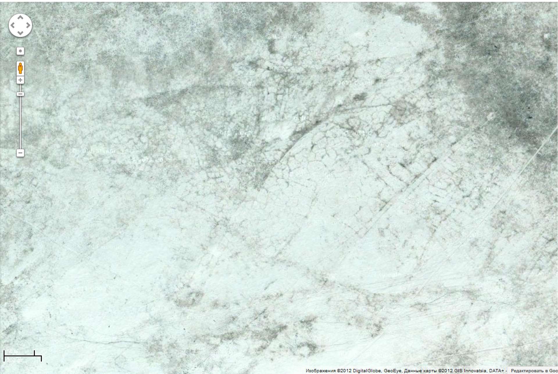
- Pic. 1. Field areas in eastern zone of Lake Shara Nur. In the bottom left corner – scale. The upper segment is 50 cm. Google resources
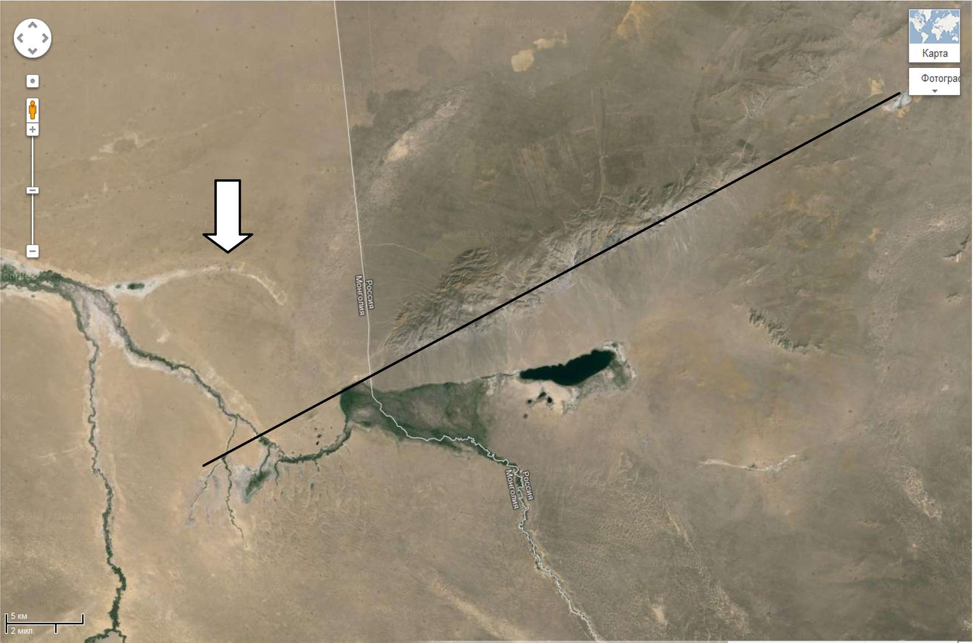
- Pic. 2. Ubsunur Hollow. Agar-Dag-Taiga Range. The arrow points at the dry wash of the Naryin-Gol River, the straight line indicate the element of tecton
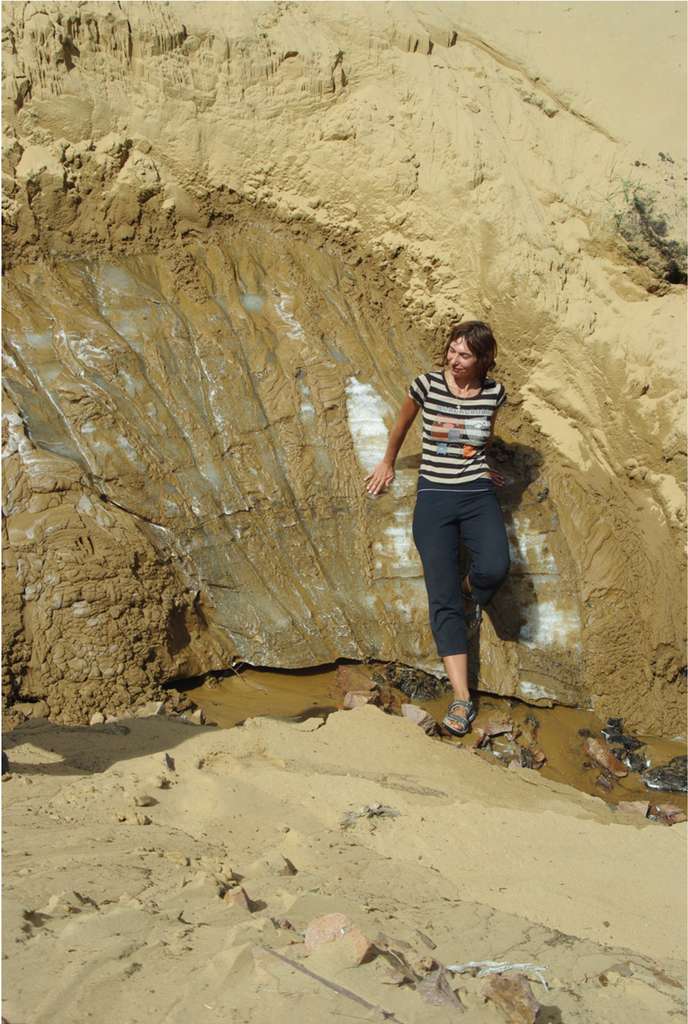
- Pic. 3. Ice veins under sand drifts, the Great Lakes Depression, North-Eastern Mongolia. Photo by Surov A. V., 2011
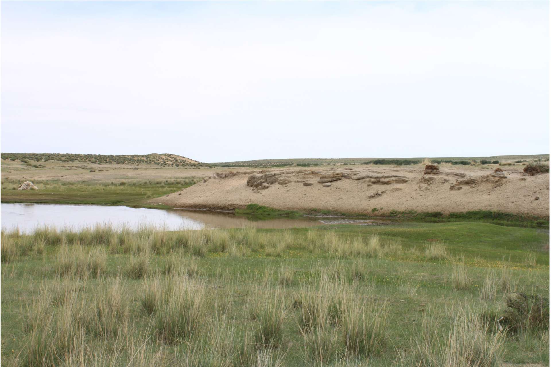
- Pic. 4. Ice veins under sand drifts, the Great Lakes Depression, North-Eastern Mongolia. Photo by Bogomolov P. L., 2011
- Pic. 5. Ancient agrolandscapes in the Upper Naryin-Gol, Ubsunur Hollow. Photo by Prudnikova T. N., 2013
- Pic. 6. Dispersed ancient agrolandscapes in the Upper Naryin-Gol, Ubsunur Hollow. Photo by Prudnikova T. N., 2013


Copyright © 2016 RJEE. THE ONLINE EDITION IS REGISTERED IN THE FEDERAL SERVICE FOR SUPERVISION OF COMMUNICATIONS, INFORMATION TECHNOLOGY, AND MASS MEDIA. REGISTRATION CERTIFICATE № FS 77 – 62950 from 04.09.2015.