


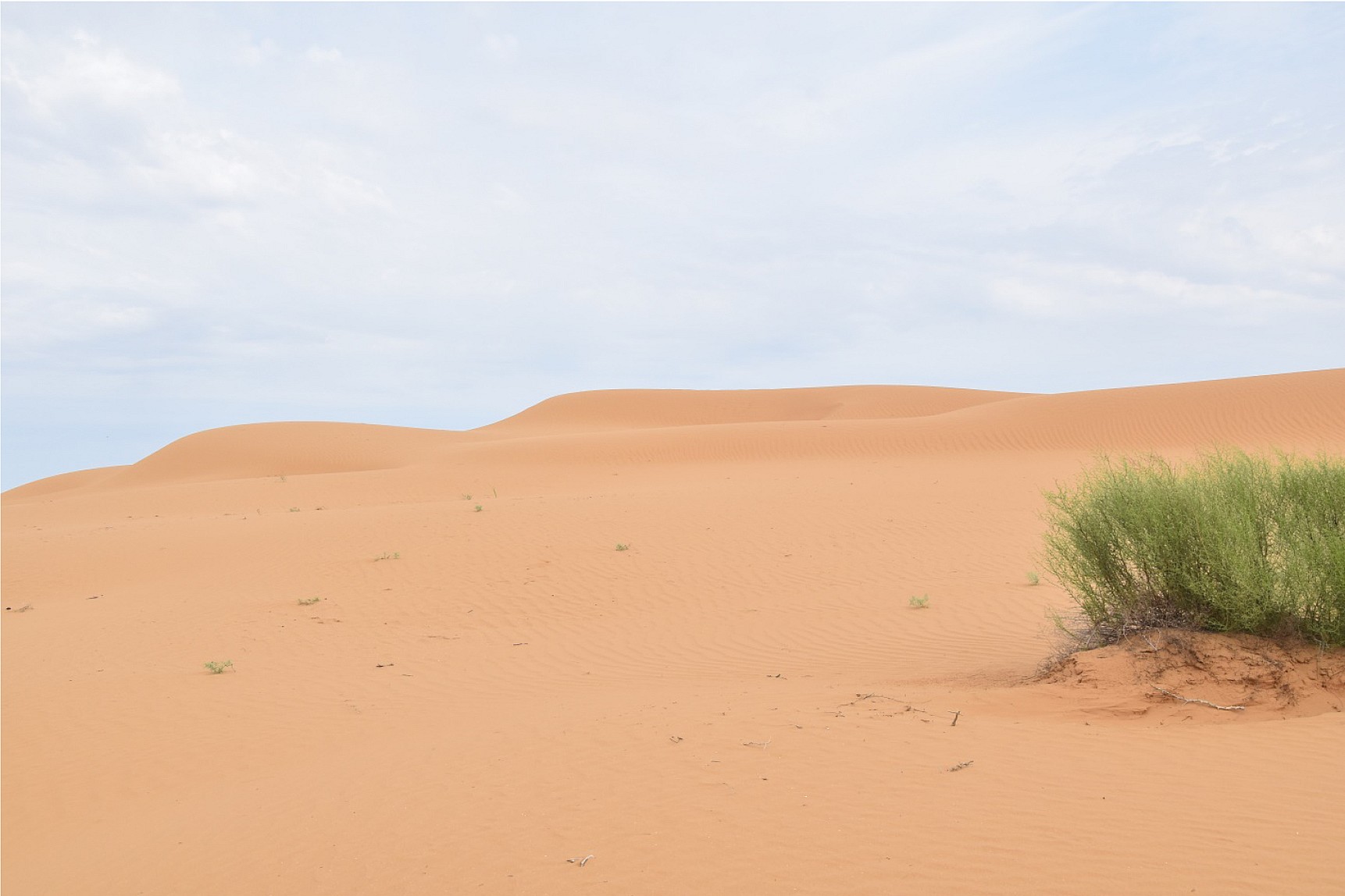
- Fig. 1. Fixed sands on the territory of the reserve « Chornye Zemli»
- Fig. 2. Open sands on the territory of the Chernozemelsky district
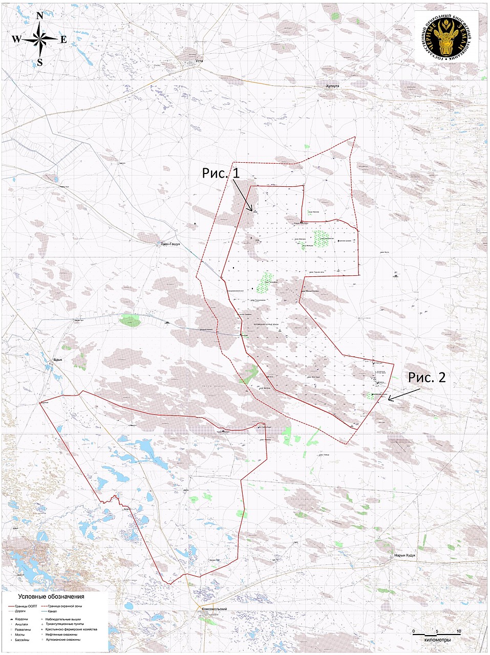
- Fig. 3. Map of «Chornye zemli» Reserve and «Mekletinsky» Reserve (the figure shows the locations of the above photographs of fixed and open sands)
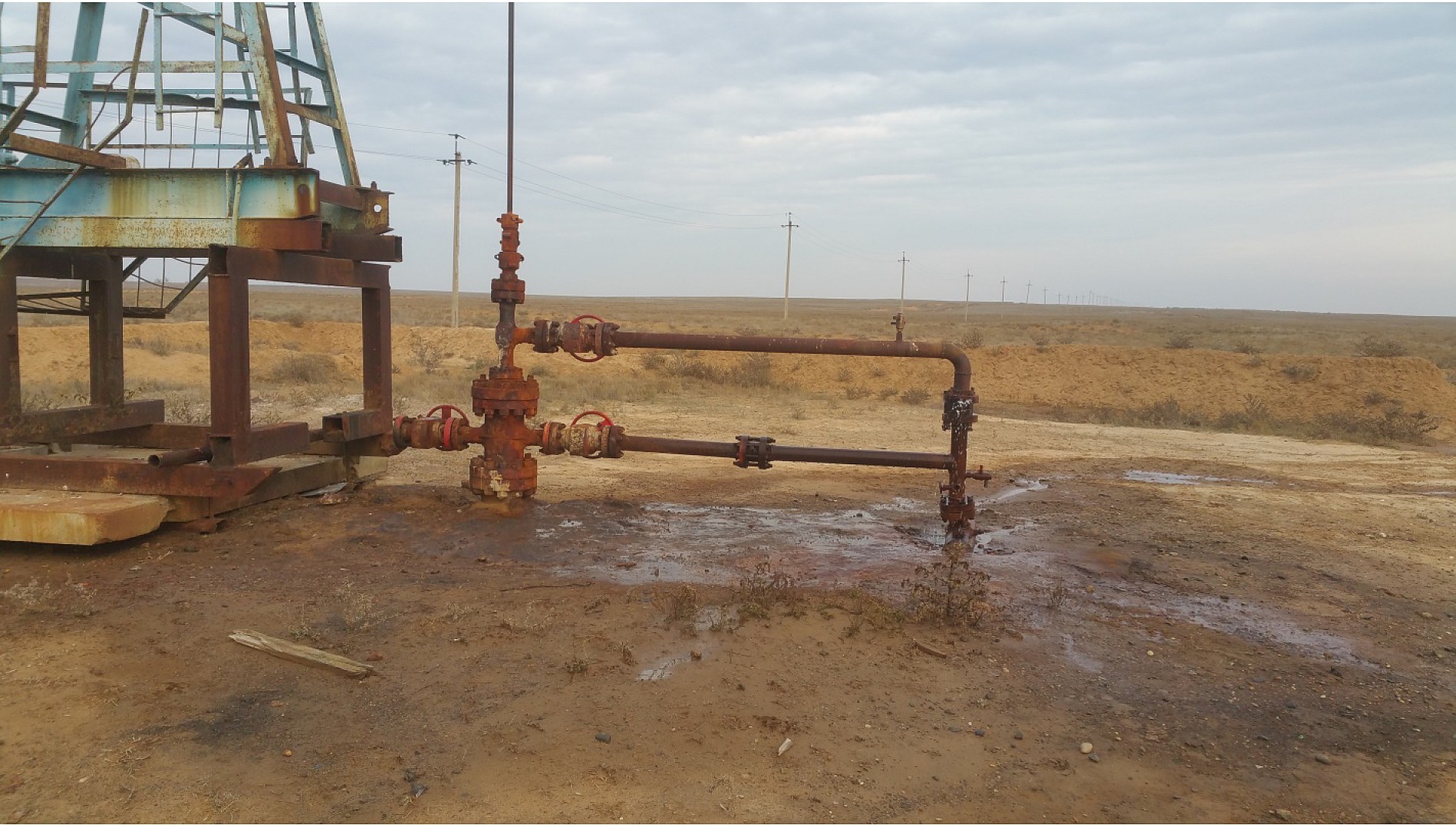
- Fig. 4. Depressurized oil well of Nadezhda oilfield
Copyright © 2016 RJEE. THE ONLINE EDITION IS REGISTERED IN THE FEDERAL SERVICE FOR SUPERVISION OF COMMUNICATIONS, INFORMATION TECHNOLOGY, AND MASS MEDIA. REGISTRATION CERTIFICATE № FS 77 – 62950 from 04.09.2015.